Ecuador - Avenue of Volcanoes
The Avenue of the Volcanoes
The Avenue of the Volcanoes is the name given to the great Andean corridor of Ecuador where numerous volcanoes align on both sides of the inter-Andean valley. The term was popularized by the German naturalist Alexander von Humboldt, who traveled through this region in 1802 and was deeply impressed by the extraordinary concentration of volcanic mountains.
This corridor corresponds to the broad longitudinal valley located between two major Andean ranges:
the Western Cordillera
the Royal Cordillera, also known as the Eastern Cordillera
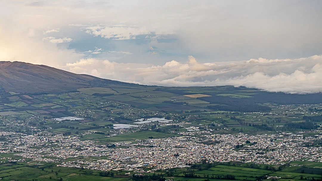
Between them stretches a high plateau at roughly 2,500 to 3,000 meters in elevation, where cities such as Quito, Latacunga, Ambato, and Riobamba are located.
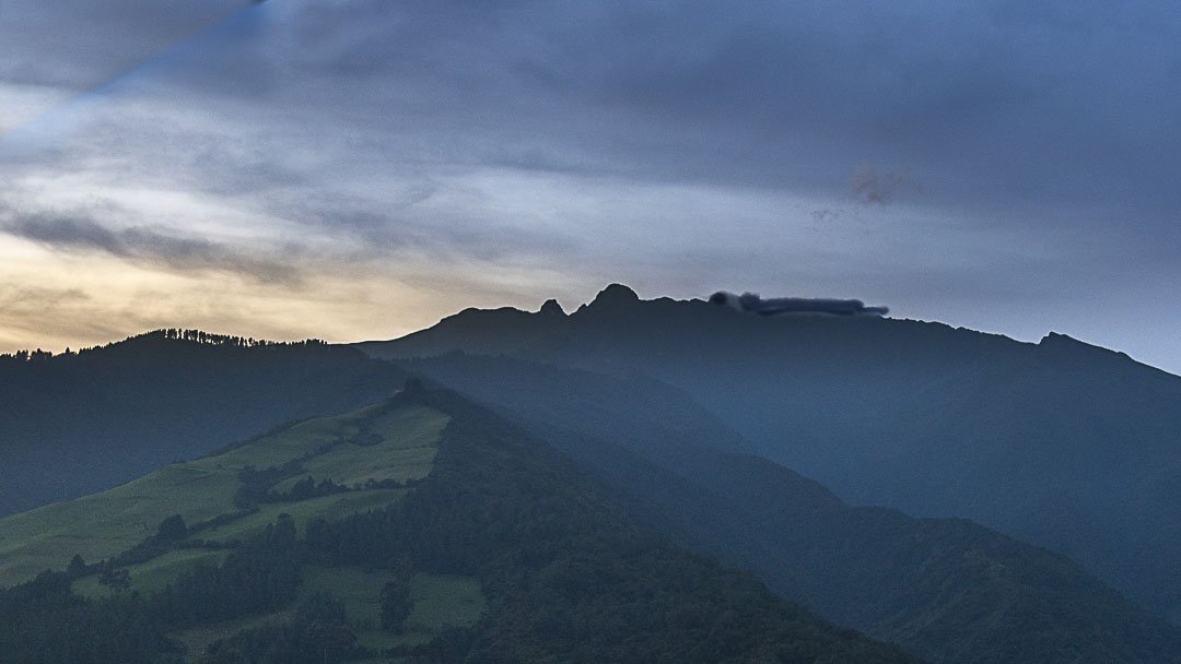
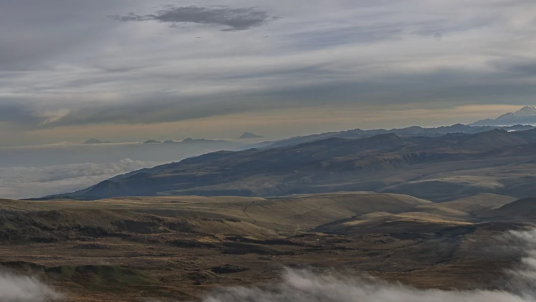
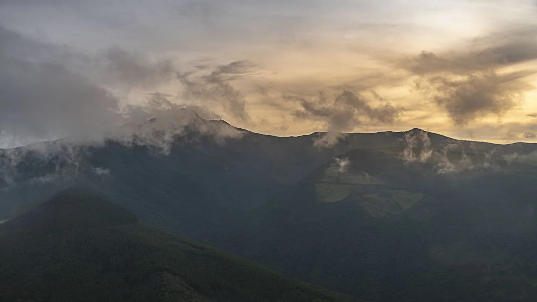
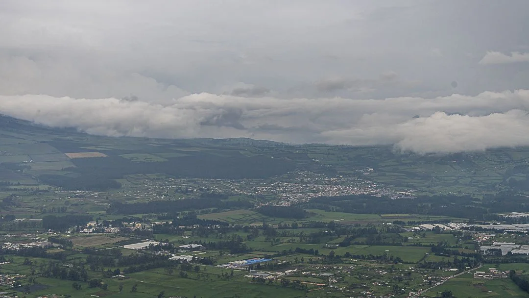
Seen from the air, this landscape reveals a remarkable geographical clarity.
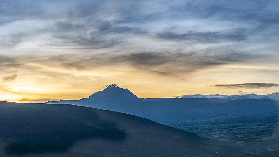
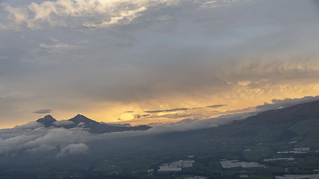
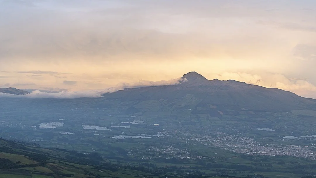
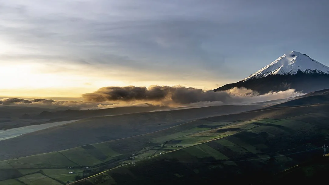
Taking off in a small aircraft from Tambillo, south of Quito, one of the clearest volcanic panoramas of the entire Avenue of the Volcanoes unfolds. The landscape appears almost like a three-dimensional map of volcanoes, where each massif can be distinguished with precision.
At low altitude the relief becomes strikingly clear, as the aircraft flies almost at the same scale as the great Andean volcanoes.
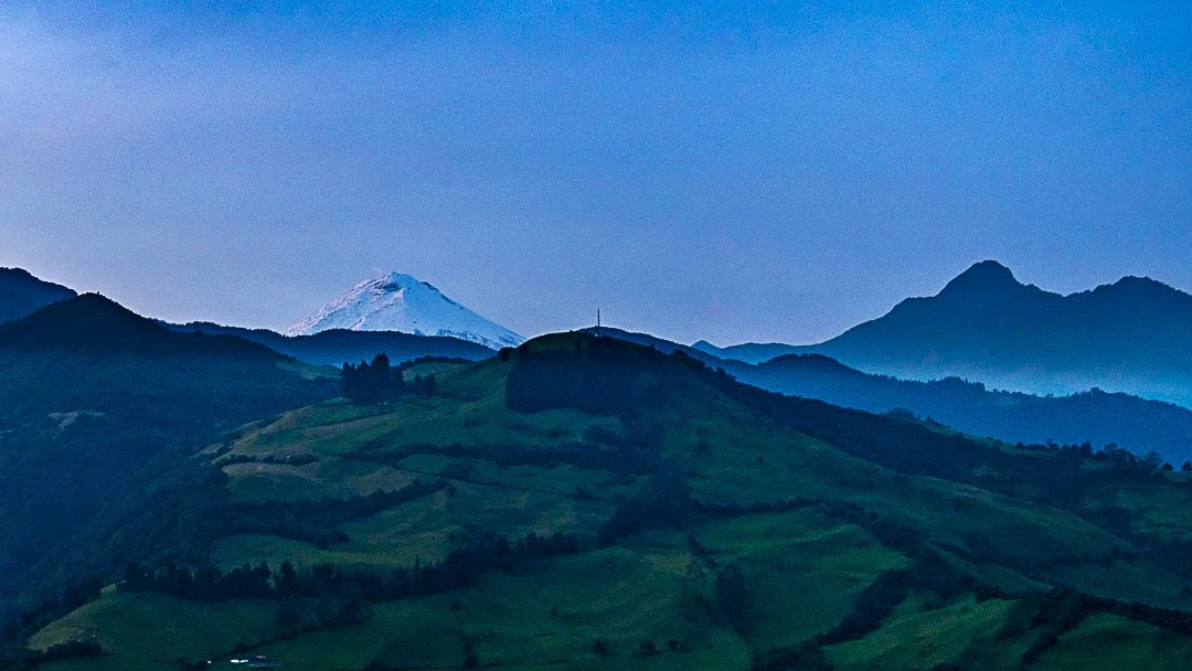
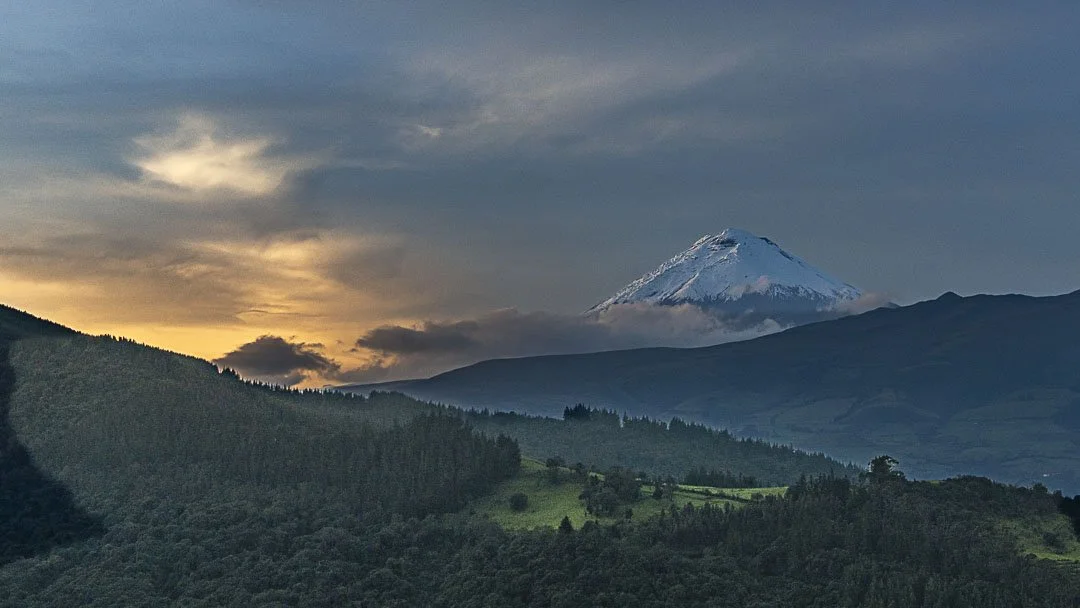
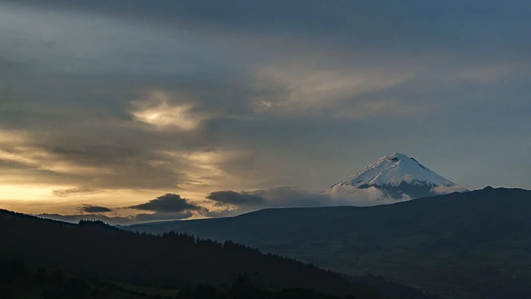
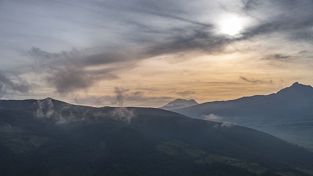
Within only a few minutes of flight from Tambillo, it is possible to observe simultaneously:
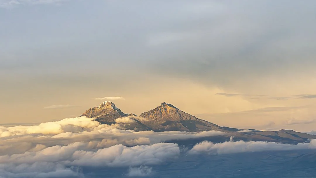
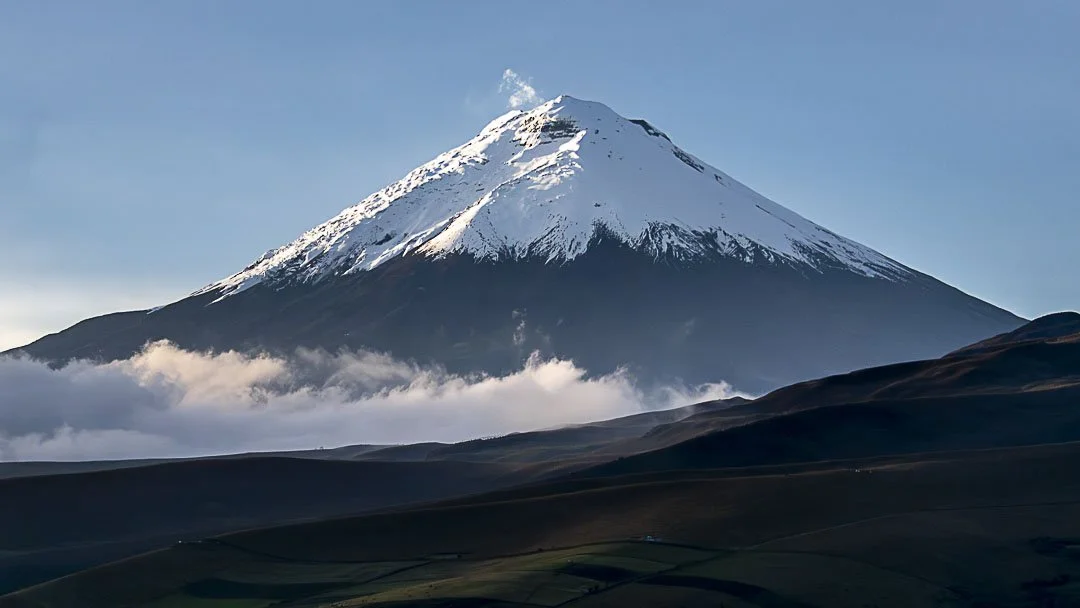
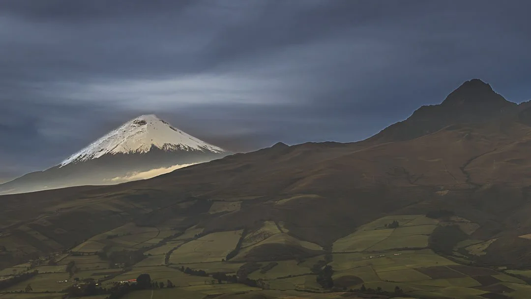
glaciated peaks, such as Iliniza Sur
nearly symmetrical volcanoes, such as Corazón
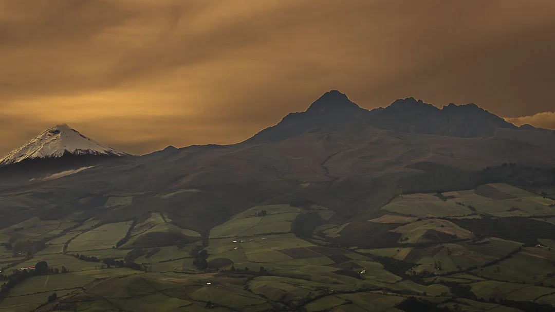
eroded, jagged massifs, such as Rumiñahui
active craters, such as that of Guagua Pichincha
In this region of Ecuador, volcanic geography does not appear isolated but rather linked in sequence, forming a vast landscape where each volcano visually relates to the next.
From the air, the Avenue of the Volcanoes reveals with striking clarity what Humboldt perceived more than two centuries ago:
one of the most extraordinary volcanic alignments on Earth.